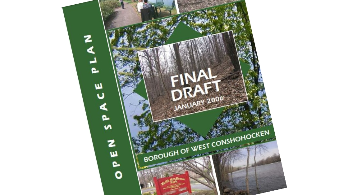
It is always interesting to go back and look at plans produced by municipalities, such as comprehensive, revitalization, and open space plans.
We stumbled upon an open space plan produced by West Conshohocken that dates back to January of 2006 (you can view it here). Note that the plan is considered a 2005 plan, but was published in early 2006.
We found a few interesting things in the plan.
Under the conclusion on page 6, it states:
West Conshohocken is well positioned to develop into a node along an expanding open space and trail network system. The potential for a riverside trail connecting to Upper and Lower Merion exists, as
well as an opportunity to develop the Gulph Mill Creek Valley into a recreation corridor. The potential to connect this area to the Hughes Park Route 100 stop in Upper Merion and eventually the Chester Valley Trail could also further enhance the borough’s position at the crossroads of a regionally significant open space, transportation and recreation area.
We do not think any of that happened?
The previous open space plan dates back to 1994. in Chapter 2 of the 2005 plan it reviews the 1994 objectives and recommendations.
From these objectives and recommendations, it is interesting to note that the land that is currently a parking lot adjacent to West Conshohocken’s Borough Hall was purchased with the intent to make it a park or public plaza, not a parking lot.
Another interesting thing is that many plots of land that were targeted for purchase as open space, became townhouses.
This chapter also points out that the 2001 West Conshohocken Revitalization Plan included details on ’Matsonford Square’ a proposed retail area with structured parking and a public plaza in front of Borough Hall. This never went forward.
Read it over and less us know what you think in the comments.

