
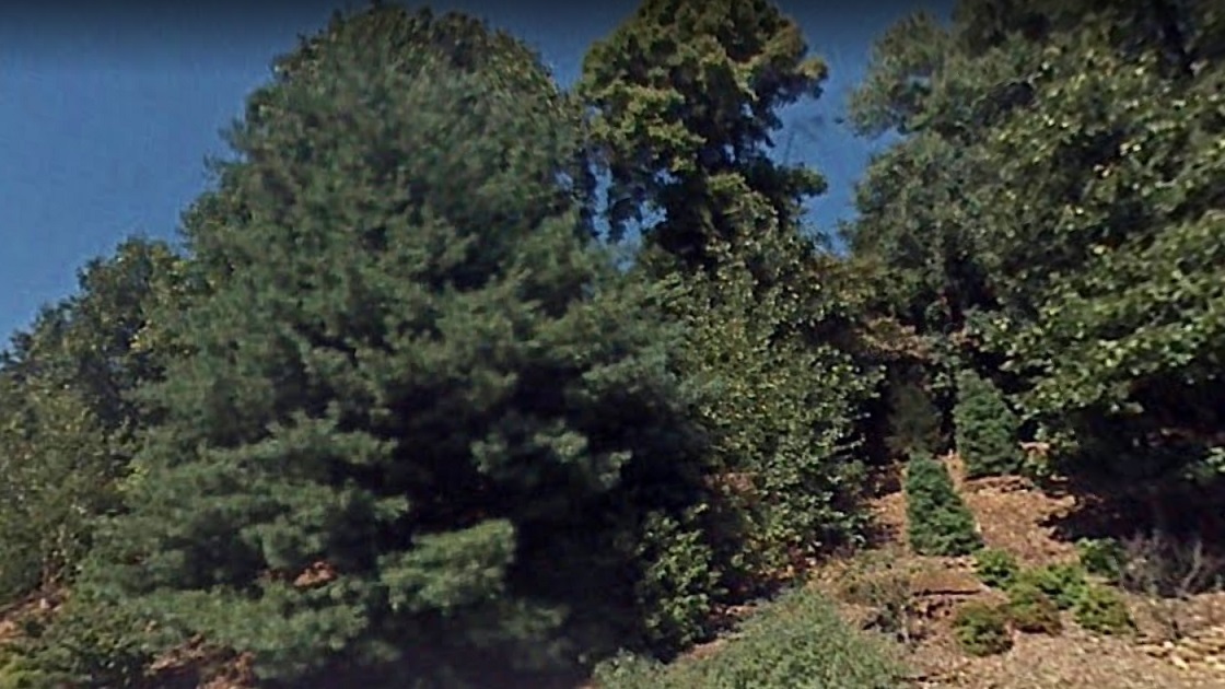
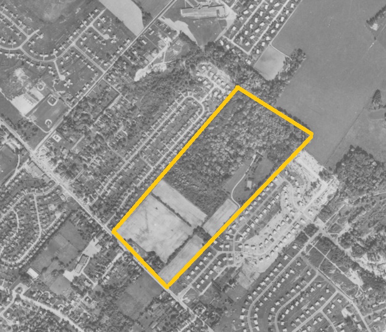
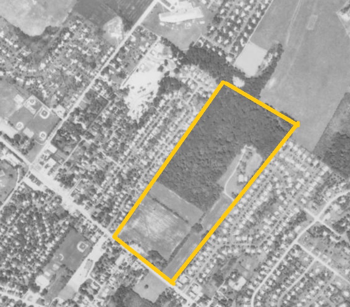
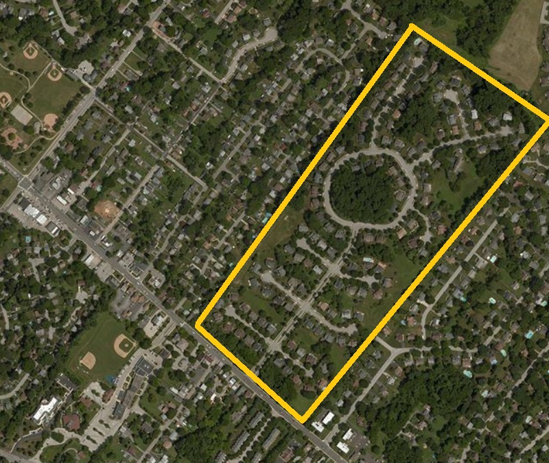
Whitemarsh Woods is a residential neighborhood located on Germantown Pike in the Lafayette Hill section of the Freedom Valley. Until recently, this property was undeveloped. Today, about one-third of the land that became Whitemarsh Woods remains woodlands and open space, as seen in the top photograph of Arbour Circle. The maps below show the transition of the property into a housing development.

The top photograph of Whitemarsh Woods is provided courtesy of Google, 2018.
The second, third, and fourth photographs are provided courtesy of the United States Department of Agriculture and the Pennsylvania Geological Survey, 1942, 1958, and 1971.
The fifth photograph is provided courtesy of Bing, 2018.
Do you have questions about local history? A street name? A building?
Your questions may be used in a future news column.
Contact Richard McDonough at freedomvalleychronicles@gmail.com.
© 2019 Richard McDonough