
On November 15, The Philadelphia Inquirer published an article titled “The Philly area’s most flood-prone waterways, mapped” that provided details on the 15 areas most impacted by flooding. The Schuylkill River at Conshohocken and the Plymouth Creek weren’t on the list. The closest area mentioned in the Conshohocken area was Norristown, and it ranked 15th.
The ranking was based on gauges, and not every flood-prone area has a gauge present.
We asked Ray Sokolowski, the borough’s executive director of operations/emergency management coordinator/BCO, if Conshohocken was included within the Norristown gauge’s area. He shared that, historically, Conshohocken information came from the Norristown site, but after auditing data from the last several flood events, substantial discrepancies were identified in water levels between Norristown and Conshohocken. It is believed that the discrepancies were likely due to tributaries, such as the Plymouth Creek, that are downriver from the Norristown gauge. In one case, Sokolowski said that a manual measurement of the river in Conshohocken differed from the Norristown gauge by six feet.
That issue has now been addressed. In 2024, the United States Geological Survey (USGS), a science agency within the U.S. Department of the Interior, installed a gauge at the Matsonford Bridge. Conshohocken’s borough council approved a capital expense and instructed the borough’s emergency services to work with USGS to install the system. The gauge, which includes cameras with online public access, provides a current reading and archives historical data to provide the borough with a more accurate reading of water levels and speed.
In 2025, a second monitoring system was installed near the Conshohocken Rowing Center. This camera assists first responders in making decisions on their action plans during a flood.
You can view the data from the Conshohocken gauge and the two cameras using the links below.
Flood Gauge at Matsonford Bridge
Camera at Matsonford Bridge looking to the west bank
Camera from Matsonford Bridge looking downriver
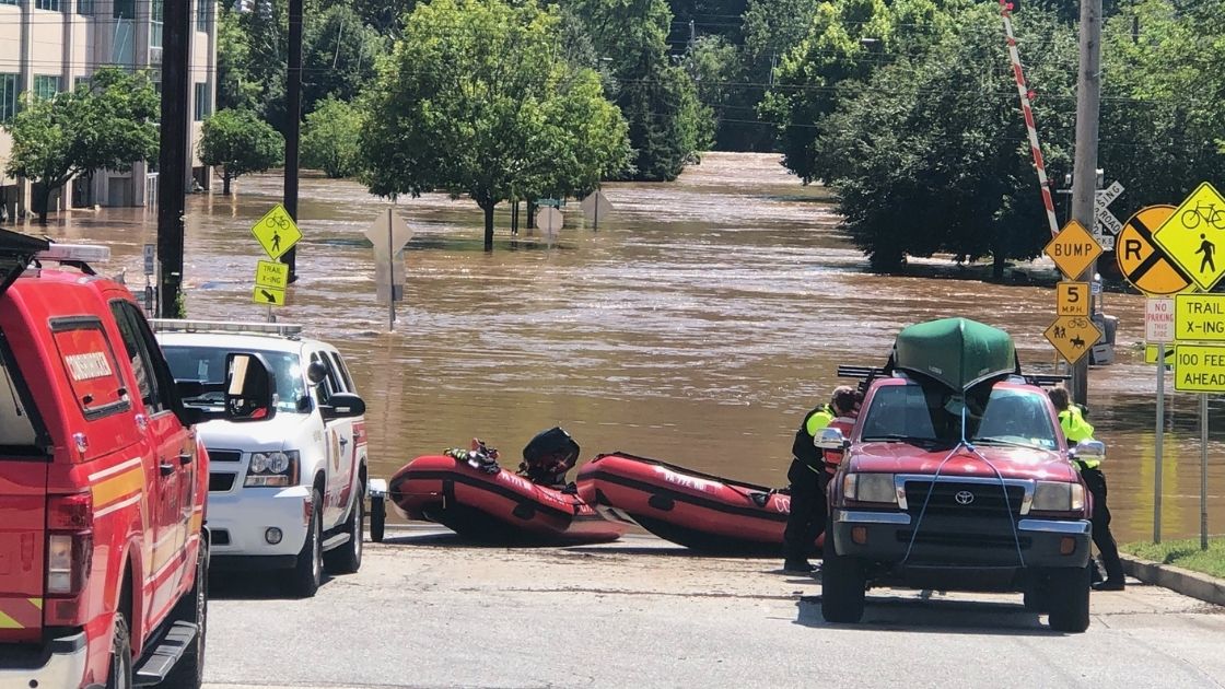
Photo: From the 2021 flood in Conshohocken