
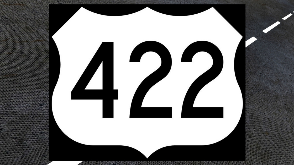
U. S. Route 422 travels today from U. S. Route 202 in King of Prussia to Hershey. It didn’t always follow that route.Befor e the route number was attached to a limited-access, divided highway from King of Prussia to Pottstown, U. S. Route 422 was the name attached to several roadways in the Freedom Valley.
The Federal Government created a network of numbered routes during the mid-1920’s to tie together communities throughout the nation. The Commonwealth and the Federal Governments disagreed on a number of routes, including what became known as “U. S. Route 422”. In 1927, the governments agreed that U. S. Route 422 would travel from the City of Philadelphia westward to Harrisburg along existing roads.
In the Freedom Valley, U. S. Route 422 followed Germantown Pike from the border with Springfield Township through Barren Hill, Lafayette Hill, and Plymouth Meeting. At the intersection with Sandy Hill Road, U. S. Route 422 followed the curve of that roadway to the border with Norristown. The national highway continued westward on local streets such as Airy Street, Main Street, and Ridge Pike.
The routing system changed officially in 1985. In that year, the name “U. S. Route 422” was removed from Germantown Pike and Sandy Hill Road. The highway no longer went into the City of Philadelphia. Instead, the highway now began at U. S. Route 202 in King of Prussia.
Unofficially, a number of businesses continued to use “422” in their addresses for a few years. Some news articles and advertisements in 1986, 1987, and 1988 continued to use “422” in their descriptions of locations in the region. Today, there is no public mention of “U. S. Route 422” on Germantown Pike or Sandy Hill Road.
Long before Germantown Pike became part of U. S. Route 422, the highway was known as the “Germantown Turnpike”. The “Germantown” portion of the name came from the section of Philadelphia that was settled by Germans in 1683. The “Turnpike” portion of the name – today’s “Pike” section – came from the fact that this highway used to be a turnpike.
Started by petition in 1801, the Germantown Turnpike was the second turnpike built in the United States. (The first turnpike in the country was the Lancaster Turnpike built from Philadelphia to Lancaster. Today, parts of that highway are known as “Lancaster Avenue”, “Lancaster Pike”, and “Lincoln Highway”.) The Germantown and Perkiomen Turnpike Company finished construction of the turnpike in 1804. It was built from the City of Philadelphia (then just two square miles between the Schuylkill and the Delaware River) to Germantown (then a separate borough) and Chestnut Hill (then part of Germantown Township) and on through the Freedom Valley to the Perkiomen Creek.
In Plymouth Township, a toll gate was on the Germantown Turnpike at Plymouth Road, according to a historical map of the region in 1871. The same map shows a toll gate on the Germantown Turnpike at Joshua Road in Whitemarsh Township.
To this day, remnants of this turnpike still exist. For example, in a filing with Montgomery County Courts in 2012, a deed for a piece of real estate in East Norriton Township includes the wording “…to the said Germantown Turnpike Road…”
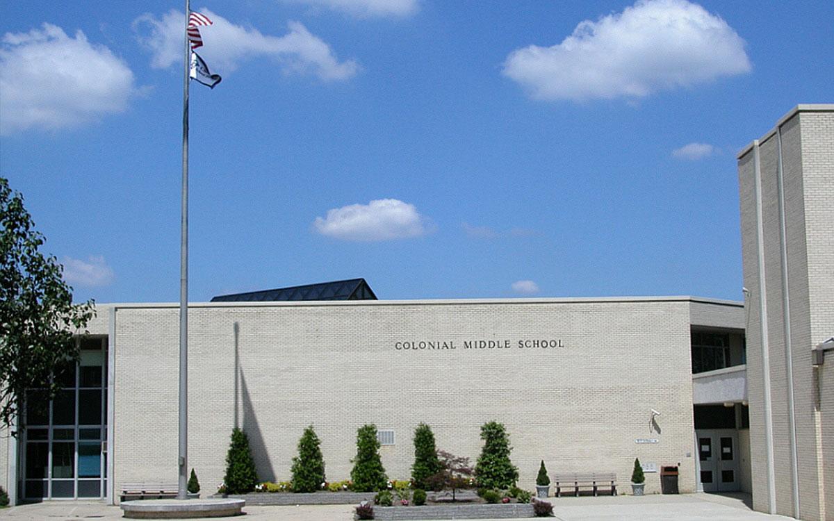
Dedicated in the Fall of 1968, the Plymouth Junior High School provided education to 7th, 8th, and 9th grade students in portions of the Colonial School District. The nickname for the students and the sports teams at the school was the “Patriots”. That name came from the men and women who fought the British during the American Revolutionary War.
The School District named its roadway at the school “Patriot Drive”. Later, a housing development was built directly across Belvoir Road from the school. The name chosen for this new residential street was “Patriot Circle”.
In 1983, the Plymouth Junior High School became the Colonial Middle School serving grades six, seven, and eight. The name of the roadway was eventually changed by the Colonial School District from “Patriot Drive” to “Independent Way”. The name of the residential street across from the school continues today as “Patriot Circle”.
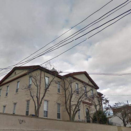
Before its location in Plymouth Township, Saint Matthew’s High School was located on Hector Street in Conshohocken.
Antioch Avenue in Plymouth Township is a one-block long cul-de-sac that leads from Butler Pike to Antioch Church of Philadelphia. The site of this church was previously the location of Archbishop Kennedy High School. The school was named in honor of Thomas Francis Kennedy, an American born in Conshohocken in 1858. Prior to 1966, this Roman Catholic high school was known as “Saint Matthew’s High School”; the high school had been founded 100 years earlier in 1866. When the high school was moved from Conshohocken to Plymouth Township in 1956, the street that provided entrance to the new high school building was named “Saint Matthews Avenue” in place of “14th Avenue”.
Archbishop Kennedy High School was merged with Bishop Kenrick High School of Norristown into Kennedy-Kenrick Catholic High School in 1993. (This merged high school was further merged with Saint Pius X High School of Pottstown in 2010. The merger of these three Roman Catholic high schools resulted in the creation of Pope John Paul II High School in Upper Providence Township.)
In 1995, Antioch Church of Philadelphia purchased the 7.89 acre site formerly occupied by Archbishop Kennedy High School; the purchase price for the site was $1 million, according to Montgomery County. Afterwards, Saint Matthews Avenue was renamed as “Antioch Avenue”.
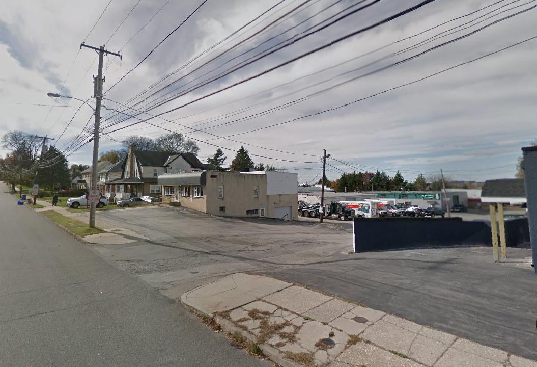
A street that may or may not exist is 16th Avenue in Plymouth Township. The street may be located between Antioch Avenue and North Lane.
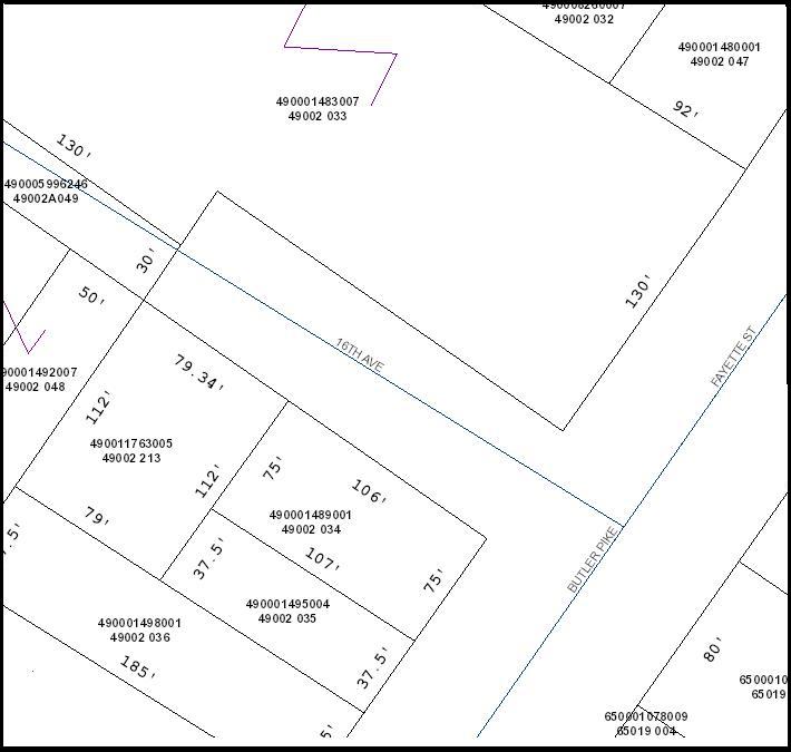
According to Montgomery County, this driveway entrance off of Butler Pike is the site of 16th Avenue in Plymouth Township.
While Montgomery County has 16th Avenue as a one-block street off of Butler Pike, the street does not seem to exist according to an official map of Plymouth Township.
In Part Four, we’ll detail additional streets that have names today that are different from their names in the past.
The image of the Colonial Middle School is courtesy of the Colonial School District.
The image of the building that formerly housed Saint Matthew’s High School is courtesy of Google, 2017.
The image of the possible 16th Avenue site is courtesy of Google, 2017.
The map of the possible 16th Avenue site is courtesy of Montgomery County, 2018.
Do you have questions about local history? A street name? A building?
Your questions may be used in a future news article.
Contact Richard McDonough at freedomvalleychronicles@gmail.com.
© 2018 Richard McDonough